Kathmandu - A Geomatic Engineer/surveyor is a professional person with the academic qualifications and technical expertise to practice the science of measurement to assemble and assess land and geographic related information, to use that information for the purpose of planning and implementing the efficient administration of the land, the sea and structures, thereon and to instigate the advancement and development of such practices.
Practice of the Geomatic Engineering profession may involve one or more of thefollowing activities likegeodesy, space survey mapping, on, above or below the surface of the land or the sea, position of the boundaries of public or private land including national and international boundaries and the registration of those lands, study of the natural and social environment, use of the data in the planning of development in urban, rural and regional area, assessment of value of property, measurement and management of construction works and production of maps and reports.Engineer is a person who knows to solve the problem and implement the solution through practical knowledge.
BE Geomatic Engineering is not only changing the names from surveying to geomatic engineering, it is manual system of technology is replaced by digital system in 2014 all around the world. In surveying and mapping paper, ink, film and scale are replaced by computer. Printed maps are being replaced by digital database, model or pdf files. New digital maps will be scale free. Theodolite, edm and computer are replaced by total station and field book by digital files.
 LiDAR, digital imagery, GNSS, photogrammetry /remote sensing, UAV, crowd sourcing, web mapping are the new methods of database preparation techniques. Digitalization, AI, IoT are being used in geomatic engineering. Substantial amount of mapping is also taking place for planetary mapping. Therefore, surveying technology is now changed, easier and need more computer skills.
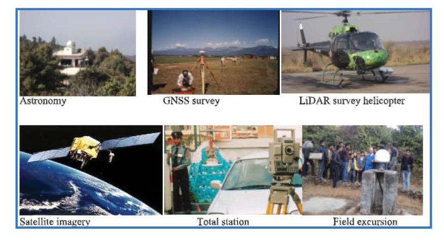
The colleges provide four years B E courses on Geomatic Engineering and Land Resources Management, which includes Astronomy, Geodesy, Photogrammetry/Remote sensing, Cartography/ Geographical Information System(GIS), Topographical, Engineering, Construction management, environment and socio economic survey, Land Resources Surveying and Mapping, Cadastral Surveying/Land Information System, Computation and Data Management, Land Administration, Land Valuation, Quantity Surveying, and the other supporting subjects like Computer Programming, Mathematics, Physics, Chemistry, Nepali and English.
 The entrance qualification is 10+2, or HSC in physical science, diploma level education in Geomatics/surveying or engineering or certificate level academic qualification same as other B E coursesand requires good stereoscopic vision and basic knowledge in computer.
The cost of surveying is almost 50% higher in developed countries. In Nepal, it is about 50% less. Geomaticengineers are highly paid in developing country and there is lack of qualified manpower there. There are better chances to get scholarship in this subject than other subjects.In Nepal, there is shortage of qualified geomatic engineers in private and government organizations.
Geomatic engineers are mostly employed by Ministry of Land Management, Cooperatives and Poverty Alleviations and other government organizations like Nepal Electricity Authority, Electricity Development, Urban Development and otherDepartments, Nepal Army, Armed Police and Police also employed geomatic engineers. It will need more than 700 geomatic engineers at local level for implementation of new constitutions and development works.

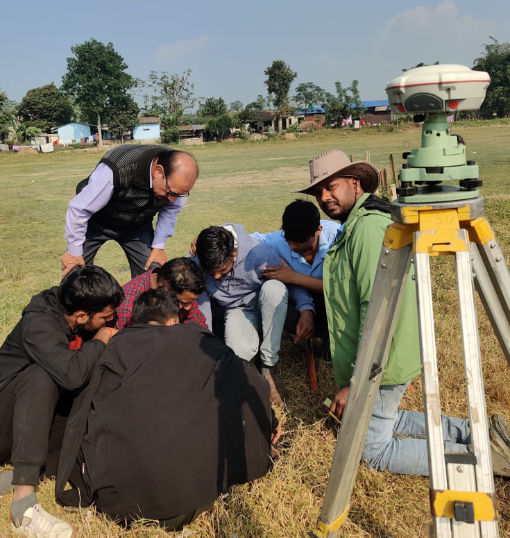
Geomatic engineers serve society by collecting, monitoring, archiving, and maintaining diverse spatial data infrastructures. Geomaticengineers utilize a wide range of technologically advanced tools such as total stations, Global Navigation Satellite System (GNSS) equipment, digital aerial imagery (both satellite and air-borne), and computer-based geographic information systems (GIS). These tools enable the geomatic engineer to gather, process, analyze, visualize and manage spatially related information to solve a wide range of technical and societal problems.
Geomatic engineering is the field of activity that integrates the acquisition, processing, analysis, display and management of spatial information. It is an exciting and new group of subjects in the spatial and environmental information sciences with a broad range of employment opportunities as well as offering challenging pure and applied research problems in a vast range of interdisciplinary fields.
In different schools and different countries the same education curriculum is administered with the name geomatic engineering, surveing in some, and in others with the names geomatics, geospatial (information) engineering, or geodesy and geoinformatics.
It is required to produce required geomatic engineering manpower for development of Nepal and run smoothly the land administration. Poor land management is the main causes of poverty. Therefore, it is expected that new generation will study geomatic engineering, be better employed and contribute to the national and global development.
Why GEOMATIC INSTITUTE OF TECHNOLOGY ?
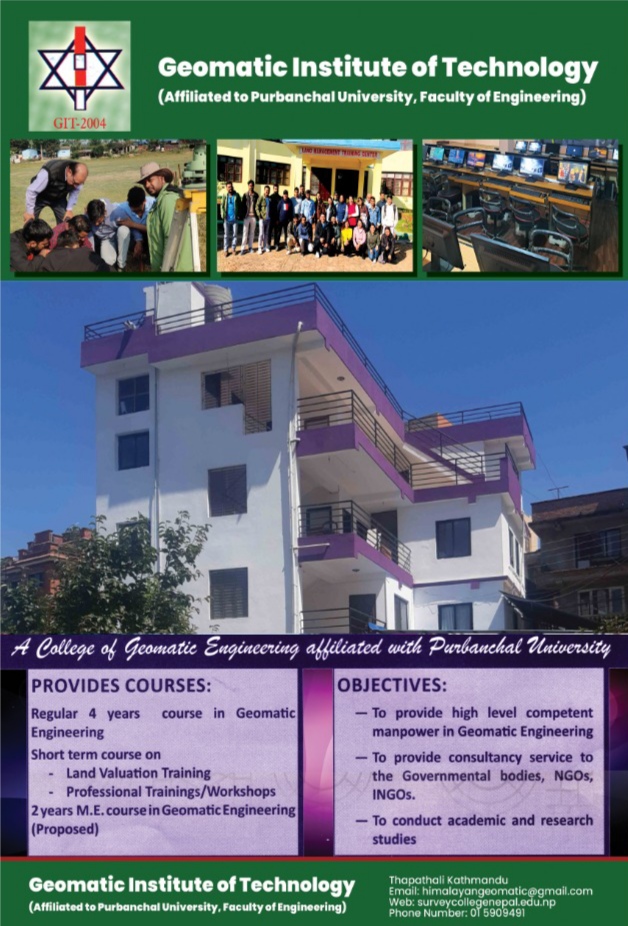
Engineering is regarded as one of core inputs of overall development and prosperity of every society worldwide. It is also a proven fact that only the conventional education may not be enough in the context of fast, dynamic and highly innovative global environment. In respect of this need of quality higher education institutions in the country, GEOMATIC INSTITUTE OF TECHNOLOGY has been running its Bachelor in Geomatics Engineering since 2004 AD. At the same time, the institute is also eager to start its Master Level of Geomatic Engineering the near future.
Git (Geomatic Institute of Technology) stands, above all else, for academic excellence. Its very environment fosters academic achievement. This modern institute has a state-of-the-art infrastructure along with an excellent faculty and is managed by dedicated professionals.G.I.T envisions delivering the best available engineering and technical education and all round opportunities to its entire student, often the best in the country as they aspire to realize their personal talents and to expand their abilities. This leading academic institution sees to it as its responsibility to equip its students with an education relevant to their society and to their time – the 21st century.
Objectives
- To produce high level competent manpower in Geomatics Engineering.
- To provide consultancy and other technical services to the local government bodies, business community, private enterprises, NGOs, INGOs etc on demand.
- To conduct academic and applied research studies, surveys, conferences and seminars in the issues of national and international interests.
- To expand necessary infrastructure as per the demand of the time and growing technology to provide the quality education required for the overall development of its students.
Programs Offered
BE in Geomatic Engineering Duration: 4 Years
ME in Geomatic Engineering * (* Proposed)
Entry Requirements
The entrance qualification is 10+2, HSC or certificate level academic qualification in science same as in other BE courses and requires good stereoscopic vision and basic knowledge in computer. The candidates with Diploma in surveying or engineering will also be allowed to attend the course.
Scholarship
The college will provide free ship (Tuition Fee) upto 10% students in each class and pursue various person and agencies to provide scholarships for more students.

About GEOMATIC INSTITUTE OF TECHNOLOGY :